Levallois-Perret
's information is
Birth and death years unknown
Levallois-Perret (French pronunciation: [ləvalwa pɛʁɛ] ) is a commune in the Hauts-de-Seine department and Île-de-France region of north-central France. It lies on the right bank of the Seine, some 6 km (3.7 mi) from the centre of Paris in the north-western suburbs of the French capital. It is the most densely populated town in Europe and, together with neighbouring Neuilly-sur-Seine, one of the m
* Calculated from Wikipedia data.
Accuracy is not guaranteed.
Levallois-Perret | |
|---|---|
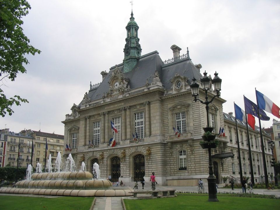
 The Hôtel de Ville of Levallois-Perret | |
 Coat of arms | |
 | |
 Location of Levallois-Perret | |
 Levallois-Perret  Levallois-Perret | |
| Coordinates: 48°53′42″N 2°17′14″E / 48.895°N 2.2872°E | |
| Country | France |
| Region | Île-de-France |
| Department | Hauts-de-Seine |
| Arrondissement | Nanterre |
| Canton | Levallois-Perret |
| Intercommunality | Grand Paris; EPT Paris Ouest La Défense |
| Government | |
| • Mayor (2020–2026) | Agnès Pottier-Dumas |
Area | 2.41 km (0.93 sq mi) |
| Population (2023) | 68,092 |
| • Density | 28,300/km (73,200/sq mi) |
| Time zone | UTC+01:00 (CET) |
| • Summer (DST) | UTC+02:00 (CEST) |
| INSEE/Postal code | 92044 /92300 |
| Elevation | 23–34 m (75–112 ft) |
| French Land Register data, which excludes lakes, ponds, glaciers > 1 km (0.386 sq mi or 247 acres) and river estuaries. | |
Look up "Levallois-Perret" on WikipediaWikipedia Categories


Loading...